Engineering Surveyor in Yarrawonga
Precision you can trust — every point, every detail, every time. We deliver meticulous, end-to-end surveying solutions with complete accuracy and reliability on every project, no matter the scale.

Nature's Symphony
Yarrawonga Engineering Surveyor
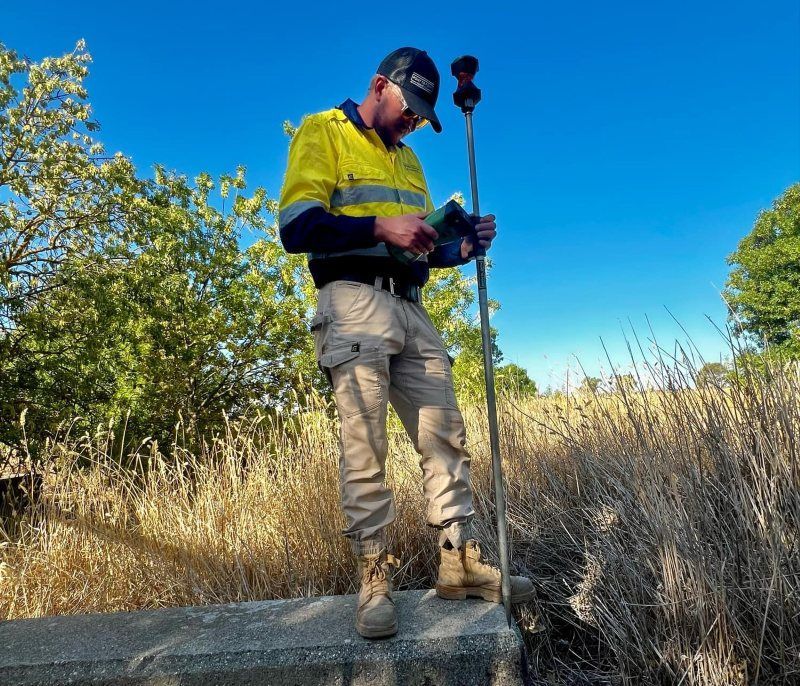
Large-scale projects need data you can trust — and that’s exactly what Point to Point Surveying delivers in Yarrawonga. As experienced engineering surveyors, we support civil, commercial, and infrastructure developments with precision layout, control surveys, and compliance-ready reporting. Whether you’re building roads, installing drainage, or setting out industrial foundations, we provide the critical data to keep your project moving efficiently and accurately.
Our team uses the latest tools and survey methods to reduce downtime and deliver clear, usable data on every job. We understand local requirements, work well with site crews, and always aim for quick turnaround times. For reliable engineering surveys in Yarrawonga, contact our team today on 0432 270 722.
Survey Support for Civil Projects

When you're working on civil works, the last thing you want is uncertainty. Our engineering surveys help remove the guesswork by translating your technical designs into real-world coordinates with pinpoint accuracy. We assist with control networks, setouts, level checks, and as-built reporting — all delivered in formats that integrate smoothly with your team’s existing software and tools.
We support everything from council road upgrades to commercial slab pours, making us a reliable part of your delivery team. With experience across multiple phases of civil works, we tailor each survey to the size and complexity of the job, ensuring the results are not just precise but practical. It’s surveying made simple, efficient, and spot-on from the start.
Works seamlessly with builders, contractors & councils
Setouts, verification & data preparation done right
Request a call back in Yarrawonga
Thank you for contacting Point to Point Surveying.
We will get back to you as soon as possible.
Oops, there was an error sending your message.
Please try again later.
FAQ
What does an engineering surveyor do?
An engineering surveyor provides spatial data and layout services for construction and infrastructure projects. This includes control points, level checks, layout for roads, services, or structural features, and verification of as-built elements. They translate technical plans into ground-level accuracy, guiding the physical construction process.
When do I need an engineering surveyor?
You need an engineering surveyor any time you're starting civil works, large-scale construction, or public infrastructure. They’re essential for site setouts, level verification, drainage alignment, road layout, or confirming compliance with plans. They're usually involved before, during, and after construction phases.
How accurate are engineering surveys?
Engineering surveys use tools like total stations, GNSS, and 3D scanners to deliver centimetre or millimetre-level accuracy. This precision is crucial in civil and commercial work where even small errors can lead to major structural or legal issues.


