Land Surveyor in Cobram
Precision you can trust — every point, every detail, every time. We deliver meticulous, end-to-end surveying solutions with complete accuracy and reliability on every project, no matter the scale.
Cobram Land Surveyor
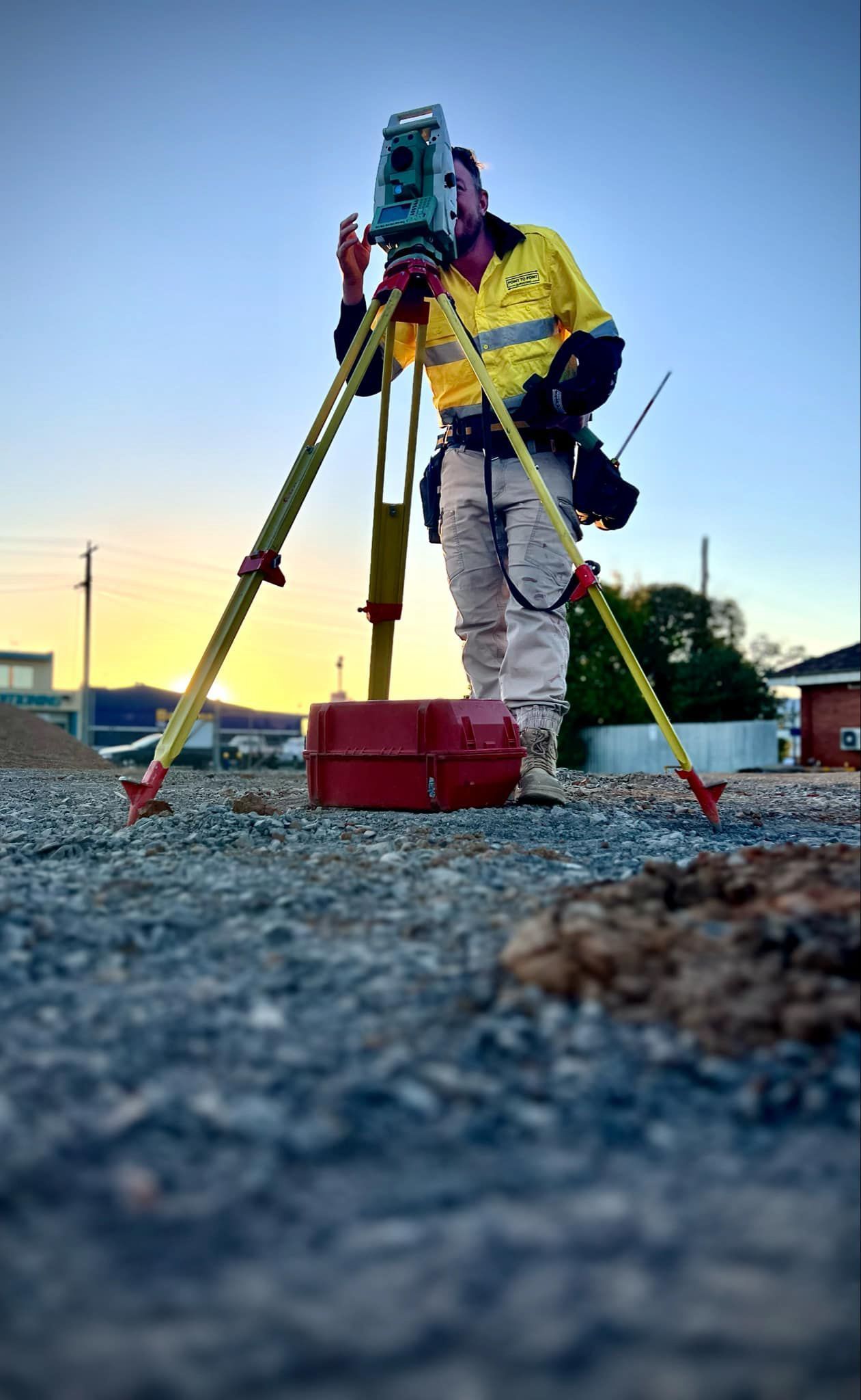
Planning to build, extend, or develop in Cobram? Point to Point Surveying offers professional land surveyor services that help ensure everything is done right from the ground up. We’re fully qualified, use advanced equipment, and work with property owners, builders, and developers across Cobram and surrounding areas to provide clear, accurate, and council-ready data.
Our team specialises in boundary surveys, construction setouts, 3D mapping, and site feature plans. Whether you’re preparing for a planning application or starting a construction project, our surveying work helps you avoid costly errors and delays. For expert land surveying in Cobram, give us a call on 0432 270 722 — we’re here to help with fast, reliable service.
Cobram’s unique mix of rural and residential properties means accurate land data is essential — and that’s what we deliver. Our surveyors provide everything from basic lot measurements to detailed contour plans, construction layouts and subdivision support. We work with your plans, local council regulations, and site conditions to ensure all data is correct and ready to go.
We’re known for our quick response times, attention to detail, and approachable service. Our survey reports are formatted to integrate easily with design software, making life simpler for everyone from your builder to your draftsman. If you're after peace of mind and confident planning, we’ll make sure your project starts on solid ground.
Advanced tools for accurate on-site layouts
Clear documentation for smooth approvals
Request a call back in Cobram
Thank you for contacting Point to Point Surveying.
We will get back to you as soon as possible.
Oops, there was an error sending your message.
Please try again later.
FAQ
What’s included in a land survey?
A land survey typically includes boundary measurements, existing structure locations, elevation data, and contour mapping. It may also include site features like fences, trees, and easements if required for planning or design.
How long is a land survey valid for?
A land survey is typically valid until something changes on the site (e.g. new construction, fencing, or legal subdivision). If in doubt, it's best to get updated data, especially before major works.
Can a surveyor help with a planning permit?
Yes. Surveyors provide the required site plans and data that local councils need when assessing planning permits. This includes lot dimensions, structures, contours, setbacks, and more.


