Land Surveyor in Tatura
Precision you can trust — every point, every detail, every time. We deliver meticulous, end-to-end surveying solutions with complete accuracy and reliability on every project, no matter the scale.
Tatura Land Surveyor
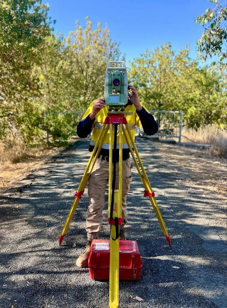
At Point to Point Surveying, we’re proud to offer reliable and professional land surveying services right here in Tatura. As your local experts, we work with homeowners, builders, and developers to provide accurate, clear data for everything from new builds to civil projects. With advanced tools, years of experience, and deep knowledge of the local area, we help you avoid costly errors and get your project off to the right start.
We specialise in boundary surveys, construction setouts, 3D mapping, feature and level surveys, and data preparation. Every survey is delivered clearly and efficiently, so you can move forward with confidence. Call us on 0432 270 722 to get a free quote and take the first step toward accurate, hassle-free surveying.
As a business based in Tatura, we understand the needs of local clients better than anyone. Whether you’re building on a residential block, managing a rural subdivision, or planning an extension, our surveys give you the certainty you need to proceed. We use the latest technology to ensure every measurement, marker, and file is spot-on — and we deliver them in formats that builders, draftsmen and councils can use without delay.

We’re known for our responsive service, attention to detail, and friendly approach. Clients appreciate our clear communication and practical advice, whether we’re pegging out a house or mapping an entire lot. Whatever your plans, we’ll help you make them a reality — on time, on budget, and on the mark.
Clear documentation that simplifies approvals & builds
Flexible support for projects of all sizes
Request a call back in Tatura
Thank you for contacting Point to Point Surveying.
We will get back to you as soon as possible.
Oops, there was an error sending your message.
Please try again later.
FAQ
Do I need a survey before starting a house build?
Yes. A land survey ensures your home is built within legal boundaries and matches your approved plans. It also provides accurate data for slab placement, site cuts, and services.
How is a land survey delivered?
Surveyors provide physical site markings (pegs, paint, or nails) and digital files (PDF, DWG, DXF, etc.) depending on your needs. These can be used by builders, engineers, or councils.
Can I use old survey data?
Using outdated survey data is risky, especially if site changes have occurred. Always confirm with a registered surveyor whether a new survey is required — especially before construction or legal transactions.


